
Introduction
In an era where climate change and natural disasters increasingly impact our daily lives, the need for accurate and timely information has never been more crucial. Google Maps, a tool that many rely on for navigation, is stepping up its game by introducing interactive wildfire smoke forecasts. This feature not only aids in navigation but also informs users about air quality, thereby enhancing public safety.
Understanding Wildfire Smoke and Its Impact
Wildfire smoke is a significant health hazard, especially during fire seasons. The particulate matter and toxic chemicals in smoke can exacerbate respiratory issues, heart conditions, and other health problems. Understanding the movement and density of smoke is essential for individuals living in or traveling through affected areas.
The Science Behind Wildfire Smoke
When wildfires occur, they release a myriad of pollutants into the atmosphere. These include:
- PM2.5: Fine particulate matter that can penetrate deep into the lungs.
- Carbon monoxide: A colorless, odorless gas that can be harmful when inhaled.
- Benzene: A carcinogenic compound found in smoke.
As these pollutants can travel vast distances, the ability to predict their spread is essential for public health.
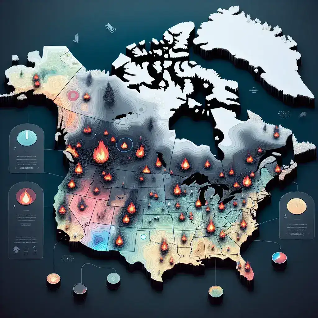
Google Maps’ New Feature: Interactive Wildfire Smoke Forecasts
Google Maps has integrated a new feature that allows users to view real-time wildfire smoke forecasts. This interactive tool displays:
- Forecasted Smoke Movement: Users can see where smoke is expected to travel over the next few hours or days.
- Air Quality Index (AQI): Real-time data on air quality, helping users make informed decisions about outdoor activities.
- Health Recommendations: Tips on how to protect oneself from the adverse effects of smoke exposure.
How It Works
The interactive wildfire smoke forecasts utilize a combination of satellite imagery, meteorological data, and machine learning algorithms to predict smoke dispersion. Users can access this feature through the Google Maps app or website, simply by searching for areas potentially affected by wildfire smoke.
Historical Context
Wildfires have plagued various parts of the world for centuries, but the recent increase in their frequency and intensity has raised alarms. The 2020 wildfire season in California, for example, set records for the largest area burned and the most significant number of fires. As communities grapple with the aftermath of these fires, tools like Google Maps become vital for public safety.
Benefits of Using Interactive Smoke Forecasts
1. Enhanced Public Safety
With real-time information at their fingertips, users can avoid areas with hazardous air quality and take necessary precautions.
2. Informed Decision-Making
Whether planning outdoor activities or simply commuting, knowing the air quality can significantly influence decisions.
3. Increased Awareness
These forecasts raise awareness about the implications of wildfires, encouraging more proactive approaches to safety and health.
Challenges and Limitations
While the interactive wildfire smoke forecasts are a significant advancement, they are not without challenges:
- Data Accuracy: The forecasts depend on the accuracy of available data, which can sometimes be limited or outdated.
- User Adoption: Not all users may be aware of this new feature or know how to use it effectively.
- Regional Limitations: In some areas, the forecasts may not be as detailed or accurate due to geographical limitations.
Future Predictions
As climate change continues to influence wildfire occurrences, the demand for accurate and accessible information will only grow. Google Maps is likely to enhance this feature further, potentially integrating user-generated data and feedback to improve accuracy. Moreover, the success of this tool may encourage other tech companies to develop similar features, expanding the landscape of disaster preparedness tools.
Conclusion
Google Maps’ integration of interactive wildfire smoke forecasts represents a crucial step towards public safety and awareness in an increasingly uncertain world. By providing real-time information about air quality and smoke movement, Google is not just helping users navigate their way through affected areas but also empowering them to make informed health decisions. As technology continues to evolve, innovations like these will play an essential role in bridging the gap between environmental challenges and public safety.